
Near Surface geophysics
terralogos Geophysics llc
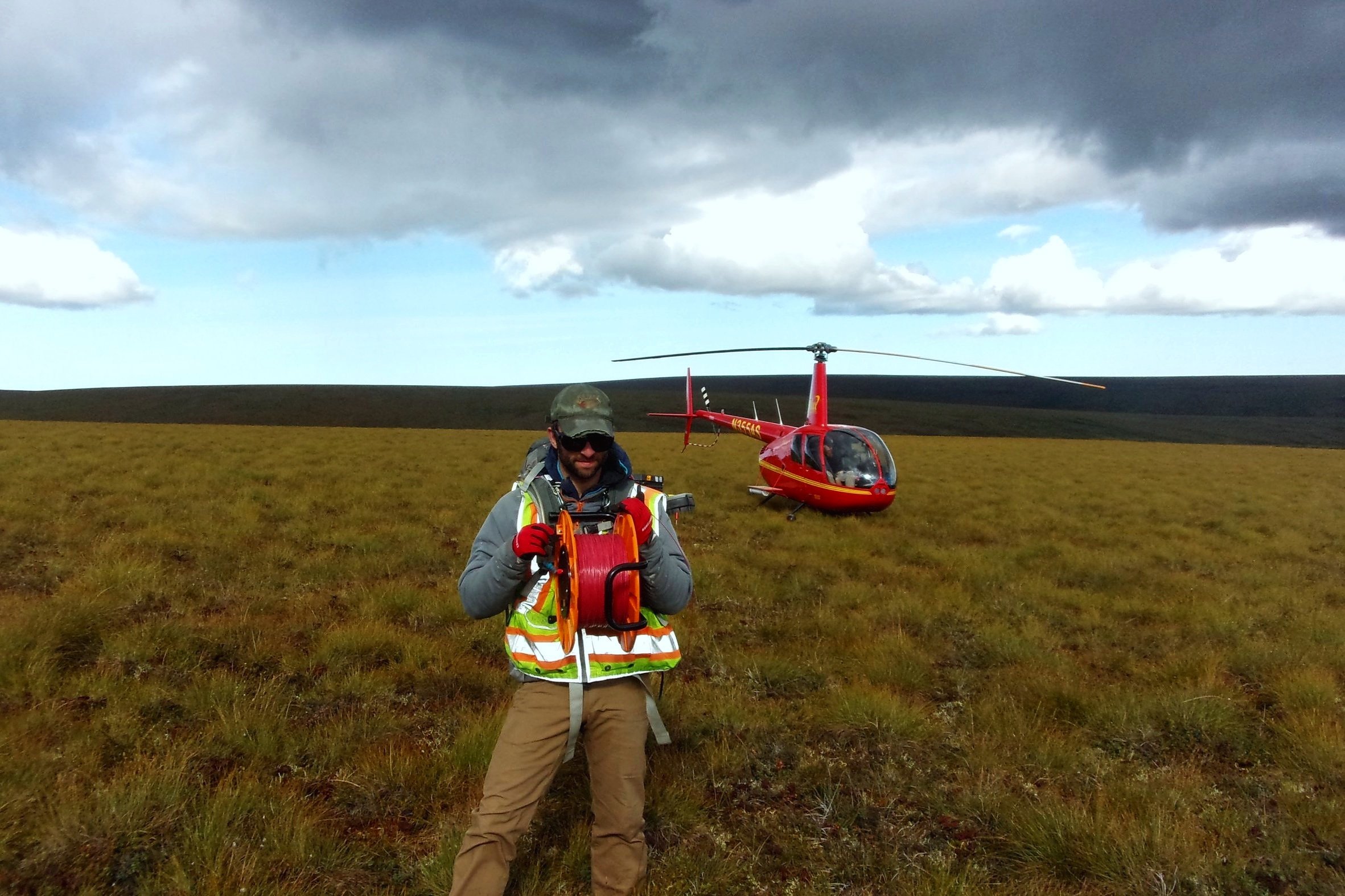
Geophysics provides a powerful tool to gather information beneath the surface without lifting a shovel, employing a jackhammer, or hiring a bulldozer. We strive to listen to your needs and craft a plan that helps address your subsurface exploration goals. We can handle large projects with multiple datasets integrated into one geophysical and geologic picture or small individual method surveys to isolate a smaller objective. Contact us to chat about your particular problem and how we can help you find a solution. We have worked collecting, processing, and interpreting a wide variety of geophysical techniques from Alaska, to the Mediterranean, to Australia and many places in between!
What we do…
-
Applications
Geological and Geotechnical Studies (Depth to bedrock, site classification, gravel location, lithology mapping, fault location, mineral exploration, others!)
Utility Location
Metal detection
Concrete Imaging
Archaeological Surveys
Underground Storage Tank Location